David & Monica's Wedding Documentary, 35 Years Before They Met, His Dad Saved Her Dad's Life
Feature-length wedding documentary
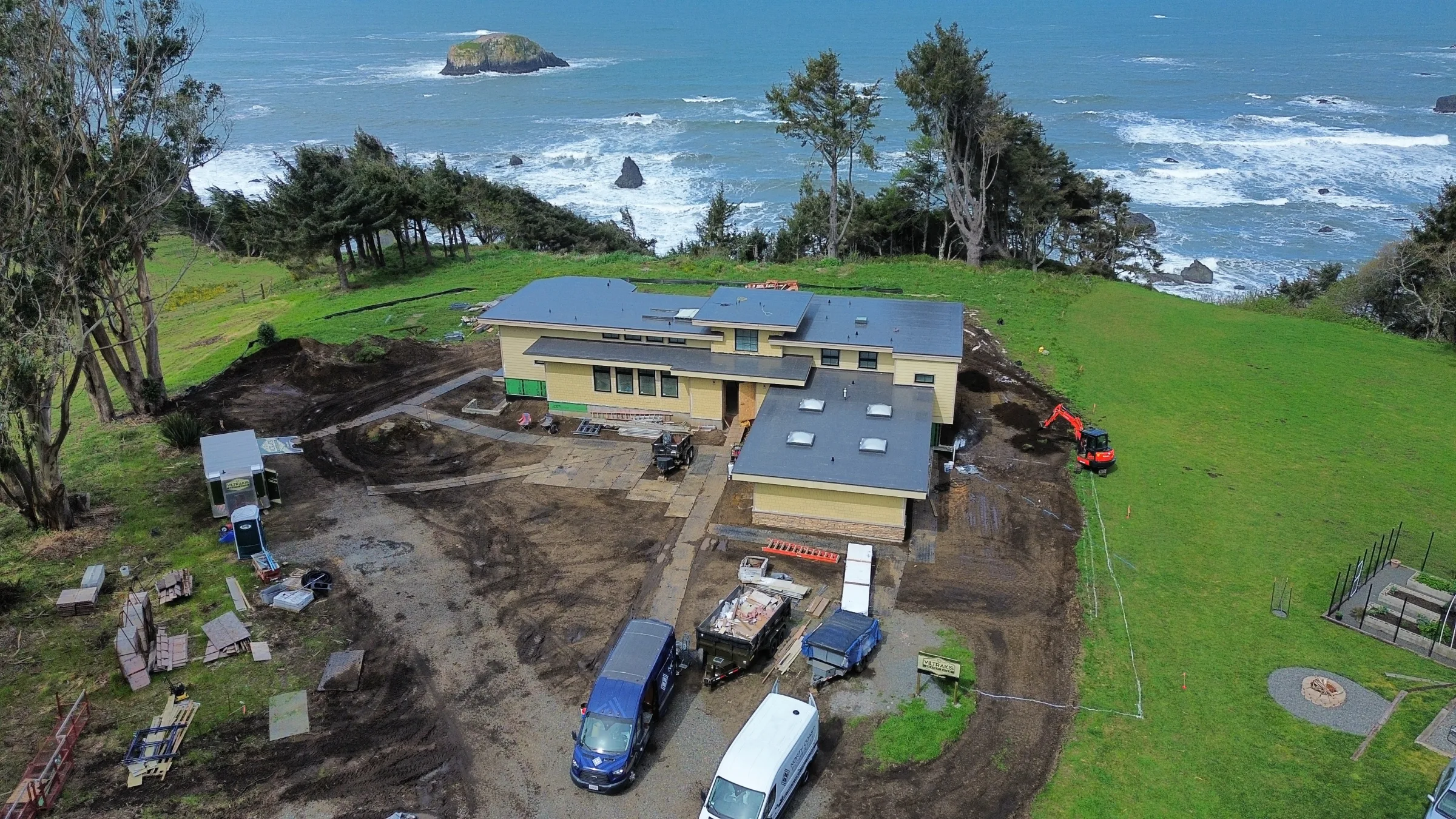
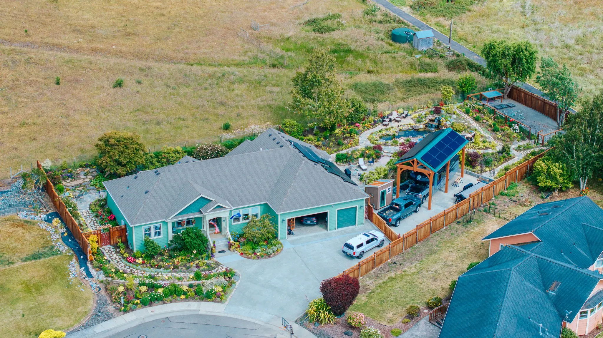
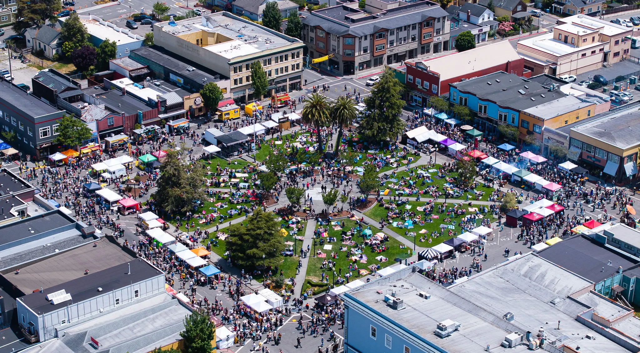
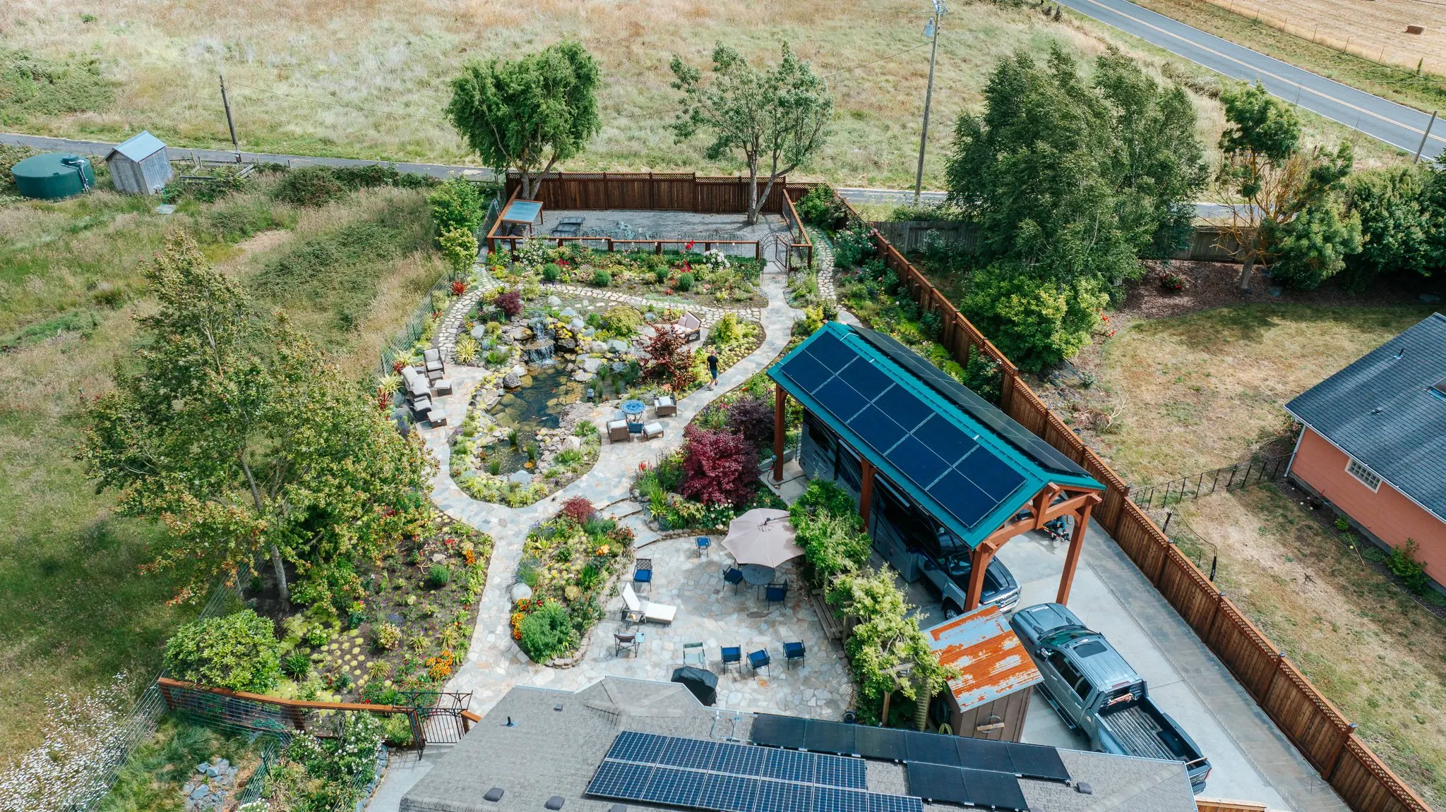
Drone FAA Part 107-certified aerial photography and cinema.
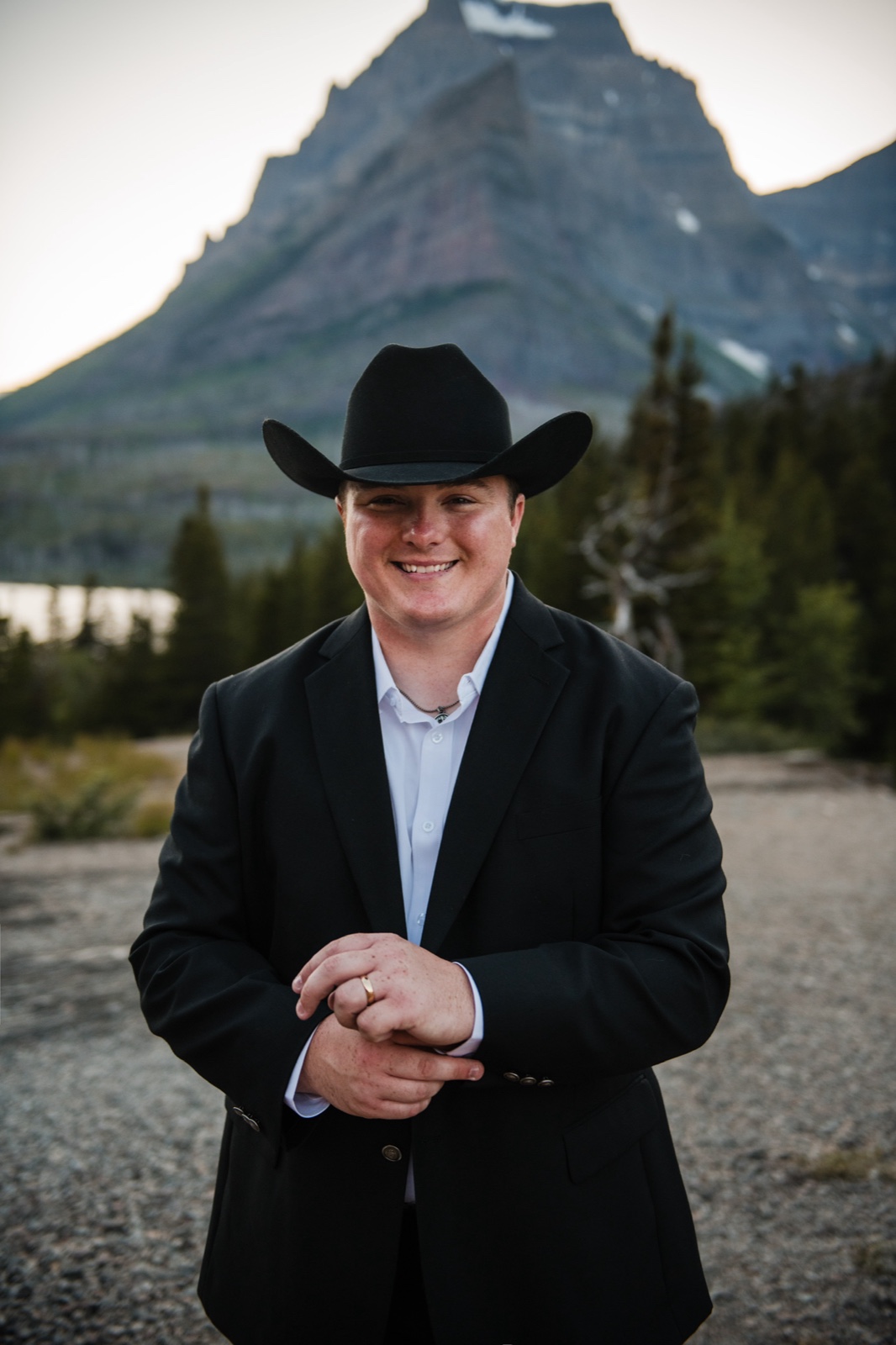
Hi. I'm Tex.
I'm a North Coast filmmaker and FAA Part 107 commercial drone pilot, voted Humboldt County's Best. Commercial drone photography and videography in Fort Bragg runs across real estate aerial, construction-progress documentation, brand campaigns, and the kind of broadcast-grade aerial cinema that lifts a property listing or a brand film into a different category.
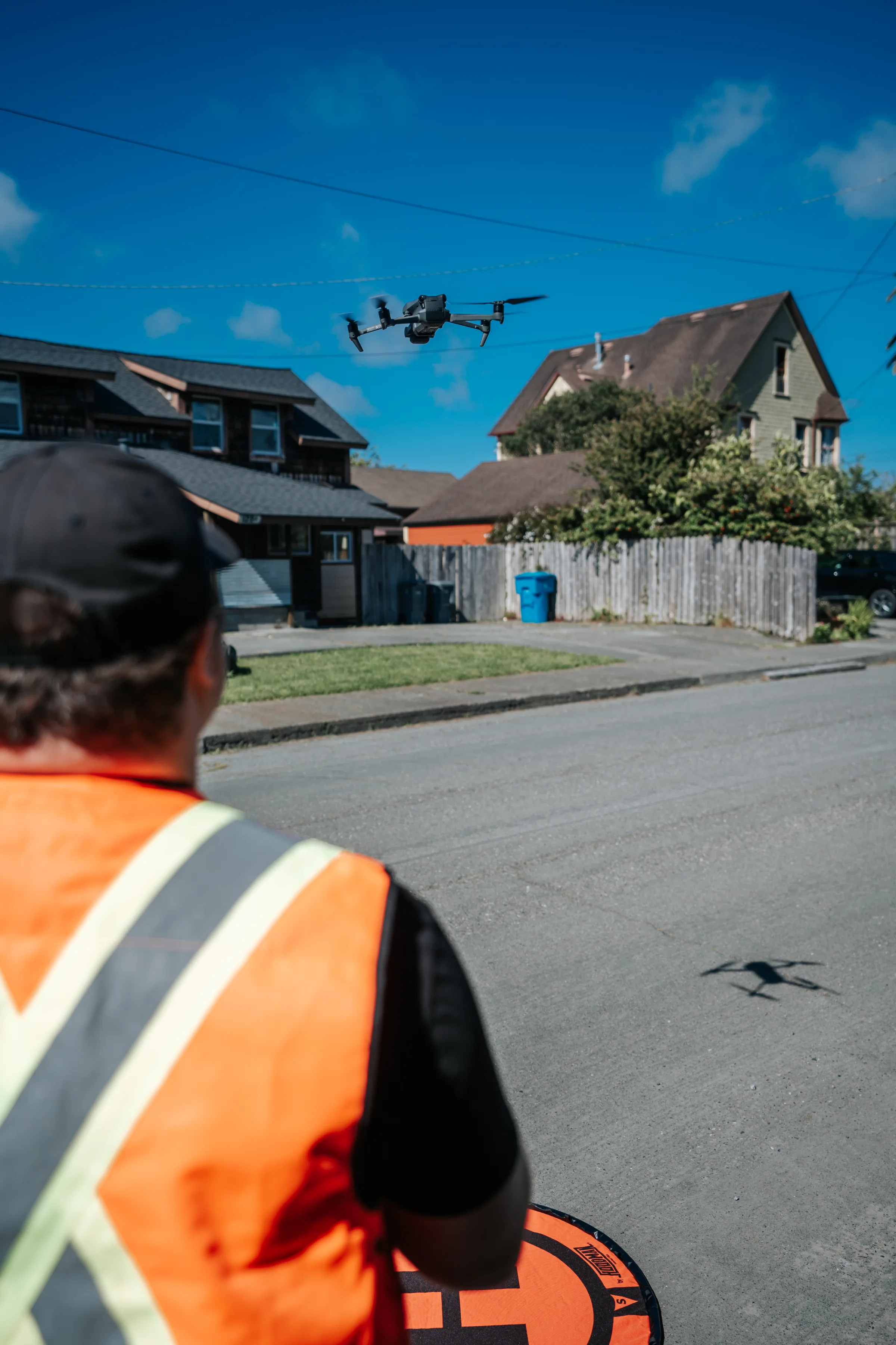
My job is to fly the FAA Part 107-rated DJI Mavic 3 Pro and DJI Avata 2 platforms safely, legally, and at cinema-grade quality in Fort Bragg airspace. LAANC authorization handled on every commercial flight, all coordination documented in writing.
Now booking Fort Bragg drone projects and real estate aerial.
FAA Part 107 · The Operator
The pilot, on every flight.
Every Fort Bragg drone flight on the calendar is operated personally by Tex. FAA Part 107 commercial Remote Pilot Certificate current and valid, LAANC airspace coordination handled in-house, and the local-knowledge advantage of years scouting Mendocino County skies for clean takeoffs, golden-hour windows, and the airspace boundaries that matter for the flight.
A note from Fort Bragg
FAA Part 107 commercial drone work in Fort Bragg, California. Glass Beach overhead, Noyo Harbor aerial, Pomo Bluffs sea cliffs, and the northern Mendocino coast's most distinctive aerial cinematics.
The Approach
The Fort Bragg airspace
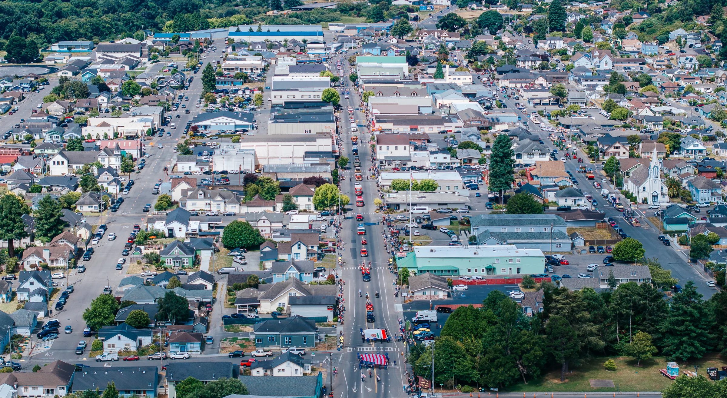
Fort Bragg's Pacific coastline, the Noyo Harbor working fishing fleet, Glass Beach's sea-glass shore, and the dramatic Pomo Bluffs all photograph cleanly from above. FAA Part 107 work for hospitality, real estate, tourism, and small-business brand marketing along the northern Mendocino coast.
The Fort Bragg flight
A drone shoot here runs under FAA Part 107, with the LAANC airspace authorization filed and confirmed in writing before we ever launch. We fly real estate exteriors, construction progress sets, and brand films for the hospitality and tourism work along the northern Mendocino coast. Glass Beach overhead is the one most people ask for. Noyo Harbor wants the fleet in the frame, so we time the pass to the boats.
The Mendocino County scouting advantage
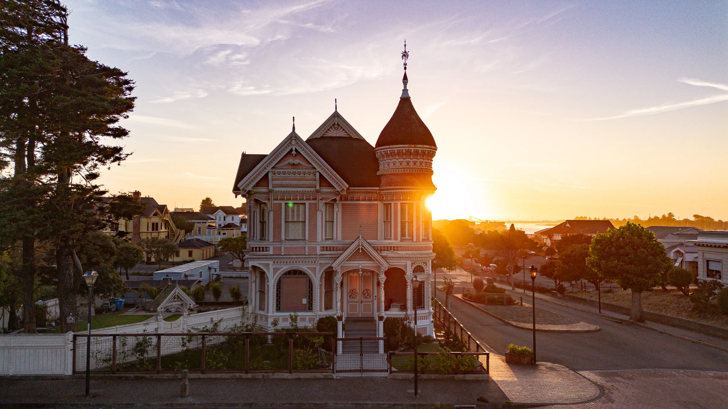
Knowing Fort Bragg from the air means knowing where the coast cooperates. Pomo Bluffs gives you a dramatic cliff aerial minutes from downtown, no long hike to reach it. The light off the Pacific turns hard by midday, so the cleaner angles on Glass Beach come early. Noyo Harbor and its historic bridge read best on an incoming tide with the fleet still in.
Now booking, Fort Bragg
Fort Bragg aerial flights book on a rolling calendar, real estate listings often need 24–48 hour turnaround, commercial brand work books 4–6 weeks out. Send a note with your timeline and we'll scope the right LAANC authorization window.
Recent Work

More from the studio
Drone work is one capability inside a broader cinematic practice. Here's the wedding-film side, feature-length wedding documentaries and editorial cinema. Click any thumbnail to play in place.
Feature-length wedding documentary
Northern California wedding cinematography
Northern California long-form wedding film
Cinematic wedding film
Trinidad, California elopement
The Editing Process
A wedding film isn't shot in a day, it's made over months. Hours of raw cinema footage, multi-camera audio, drone aerial, and second-shooter coverage get assembled, color-graded, and scored frame by frame in the edit suite.
Every transition is intentional. Every cut earns its keep. The goal is a film couples actually want to re-watch, not a montage of clips. That kind of editorial discipline is the difference between a wedding film and a wedding highlight reel, and it's why these turnarounds run weeks instead of days.
Locations + Airspace
Sea-glass shore + Pacific surf from above, the signature Fort Bragg aerial.
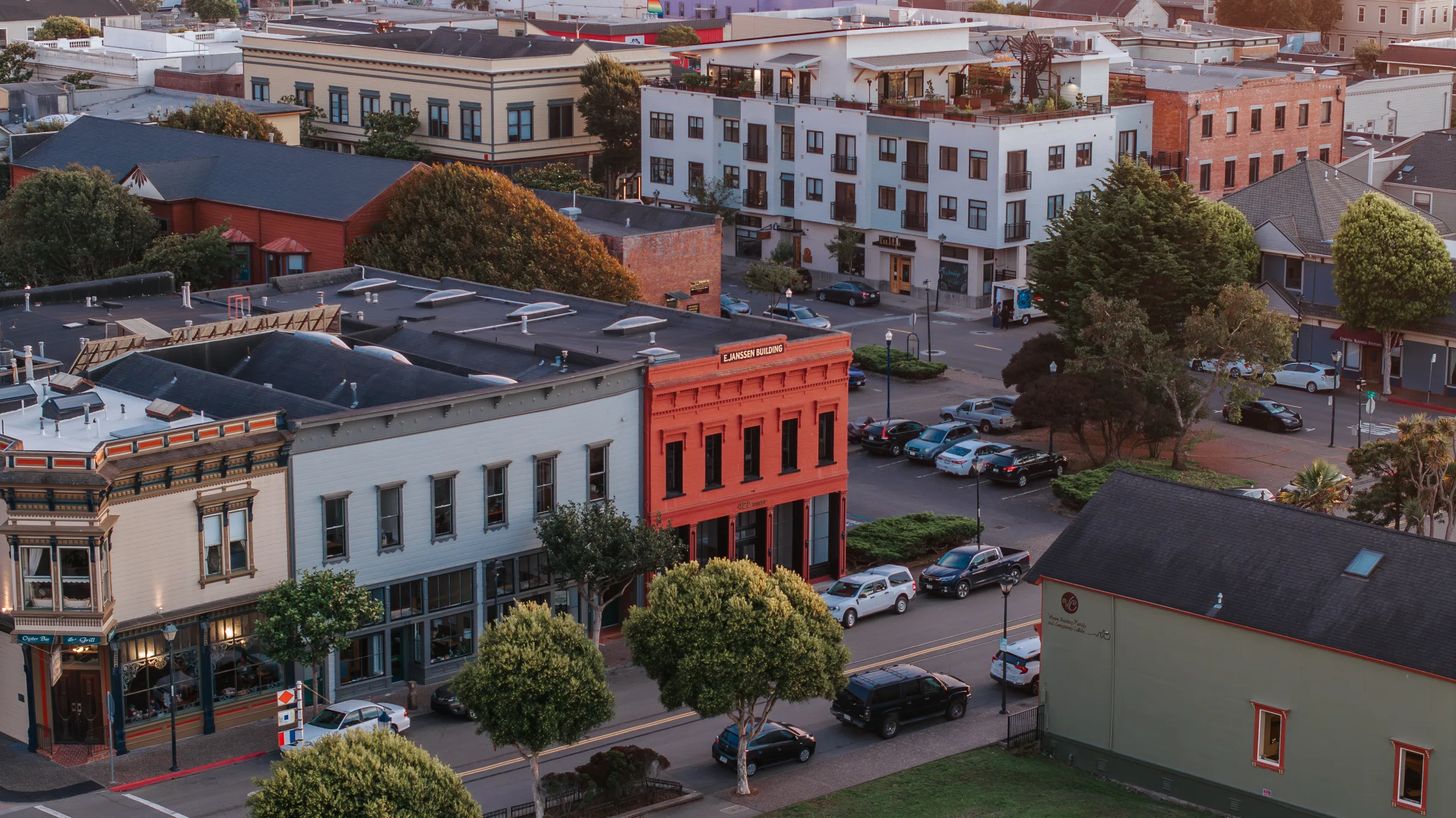
Fishing-fleet aerial, boat docks, harbor entrance, historic bridge.
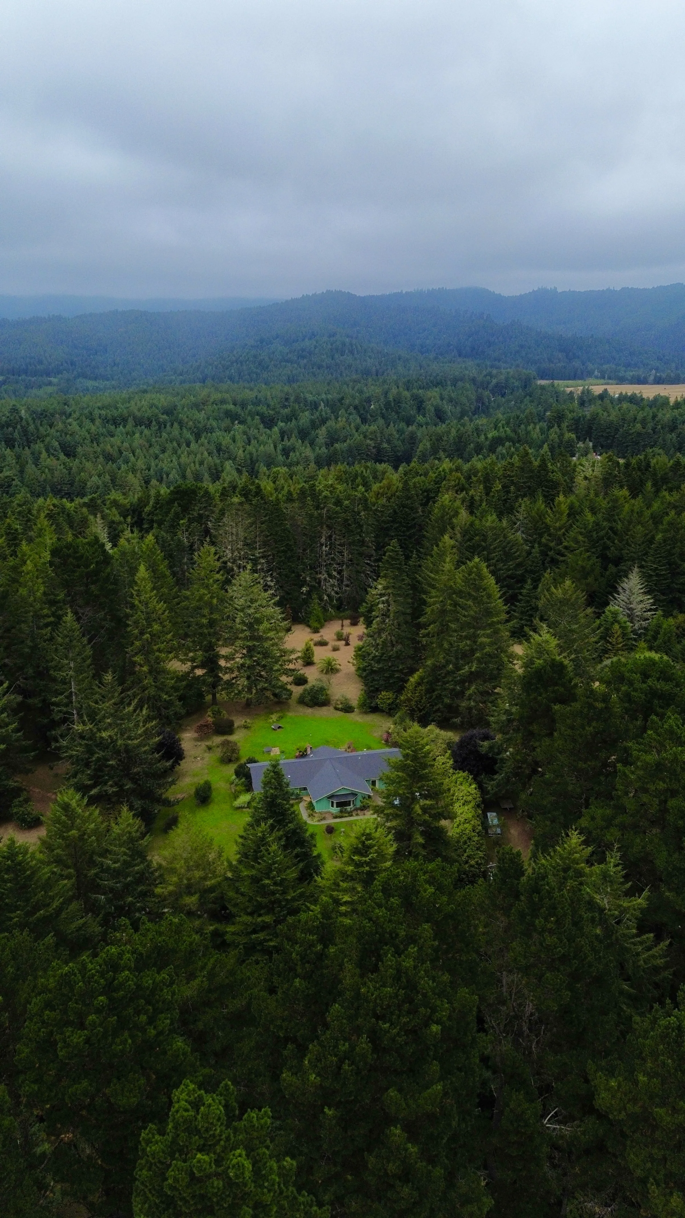
Dramatic Pacific cliff aerial minutes from downtown, accessible without long hike.
What's Included
Current, registered, and current commercial drone pilot license. LAANC airspace authorization for restricted areas. Insurance documentation on request.
DJI Mini 3 (sub-250g, for tight regulated airspace and travel); DJI Mavic 3 Pro (broadcast-grade 4K cinema, Hasselblad sensor, three-camera array); DJI Avata 2 (cinematic FPV, immersive single-take flythroughs). The right drone for the right job, every time.
Documented airspace check, weather review, property-owner permission, and flight plan for every commercial flight.
Fully insured for commercial drone operations. Certificate of insurance available before the shoot for venue or client requirements.
Color-graded 4K video clips, high-resolution stills, and any specialty formats (vertical for social, broadcast 16:9, slow-motion sequences).
FAA LAANC clearance, state park permits, and venue authorizations handled ahead of the shoot, no day-of surprises.
How It Works
Send the location, intended use (real estate, wedding, brand, industrial), and timeline. I pull the airspace map for the location.
LAANC permit if needed (1–14 days lead time depending on airspace). Property owner releases for private land.
I monitor forecasts and identify the best-light, lowest-wind window. Coastal Humboldt fog often dictates timing.
On-site arrival 30 minutes early for visual airspace check. Pre-flight checklist. Multiple altitude and angle passes for editorial flexibility.
Color grade, stabilization polish, format export. Standard turnaround 1–2 weeks for video, 3–5 days for still imagery.
Investment
Drone work is priced per shoot, half-day, full-day, and multi-day rates scale with scope. Most real estate aerials run a few hundred; wedding integrations and brand campaigns scale up. Send the project and timeline for a quote.
Drone Photographer in Fort Bragg. FAQs
Nearby drone photography and videography cities
Flexible on where you shoot? Many clients book a hometown location + a destination second location in the same day. Below are the other cities where I'm currently booking drone photography and videography, same playbook, same editorial eye, different backdrop.
Mendocino County · California
Featured location: Mendocino Headlands Aerial.
See Mendocino drone photography and videography Mendocino County · California
Featured location: Anderson Valley Vineyards.
See Boonville drone photography and videography Mendocino County · California
Featured location: Point Arena Lighthouse.
See Point Arena drone photography and videography Humboldt County · California
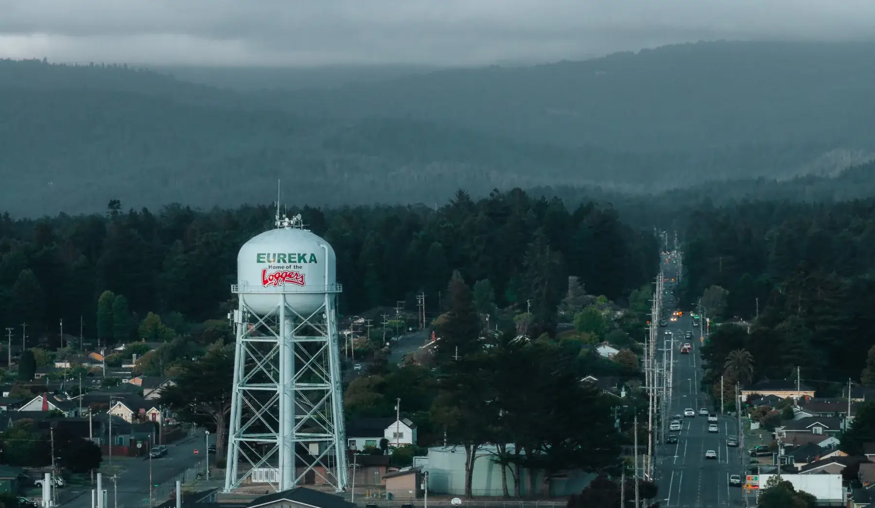
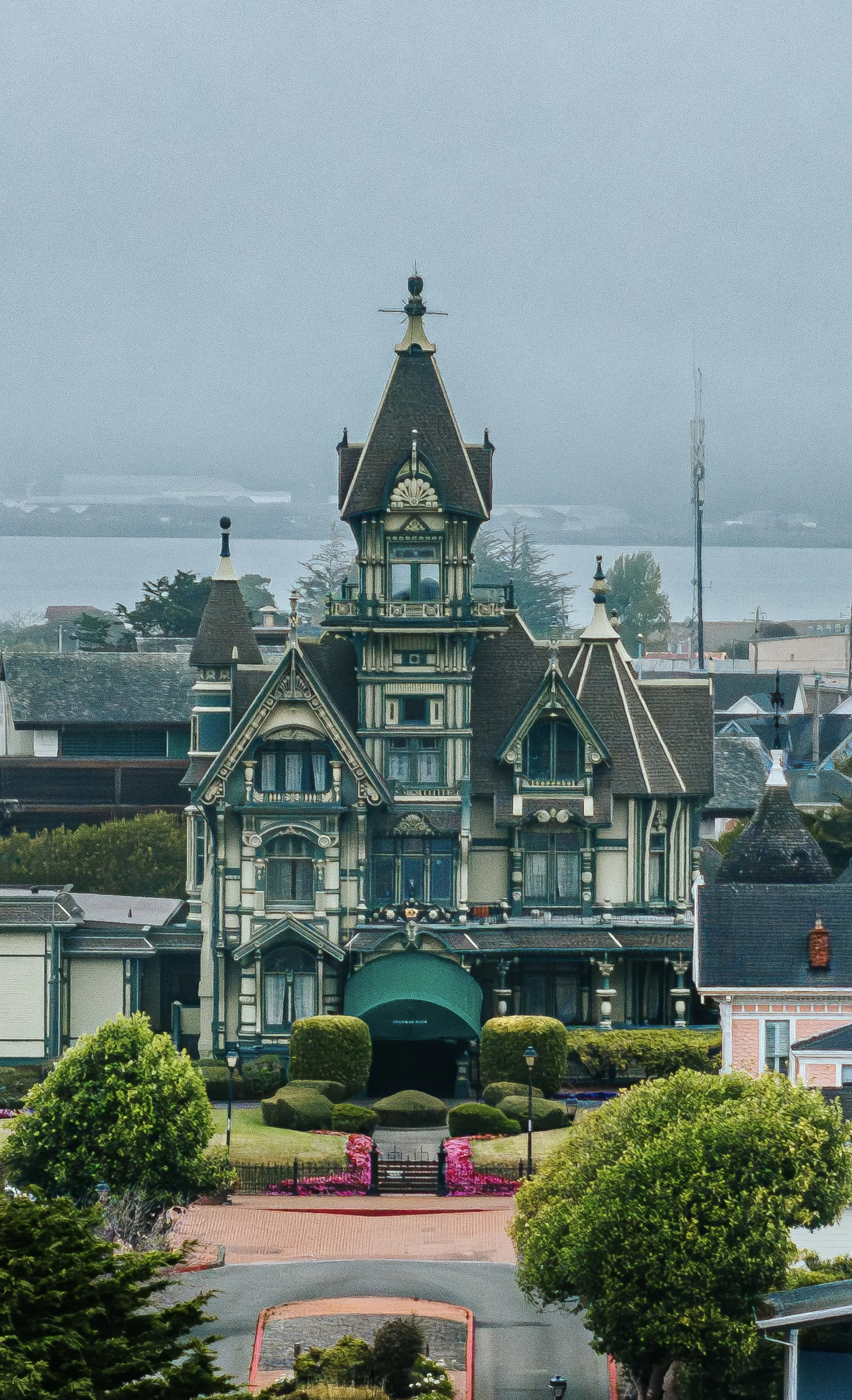
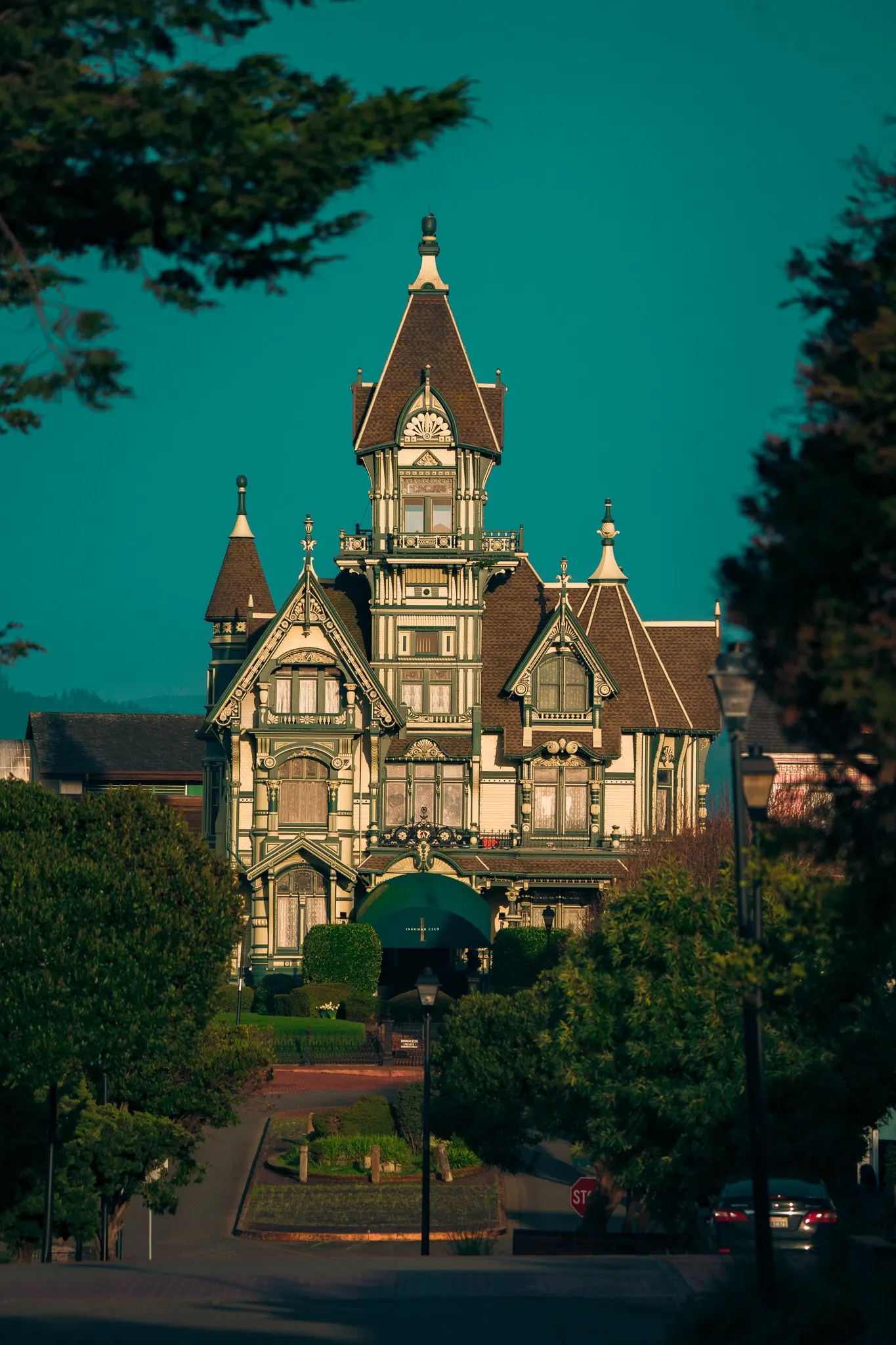
Featured location: Eureka Class E Airspace.
See Eureka drone photography and videography Humboldt County · California
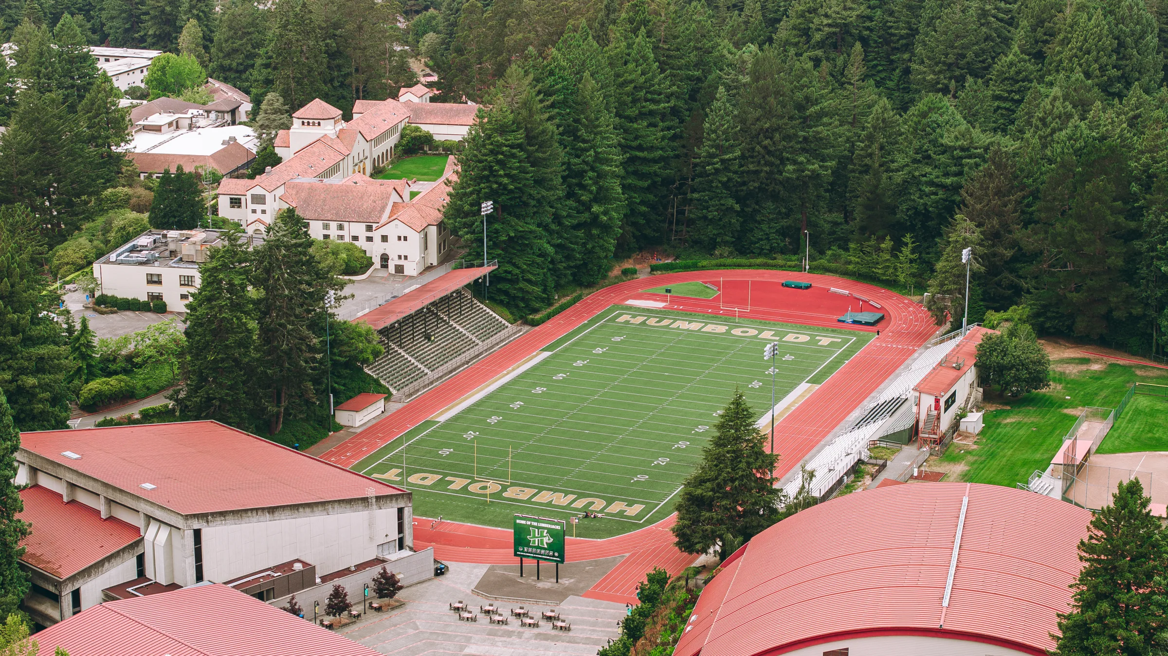
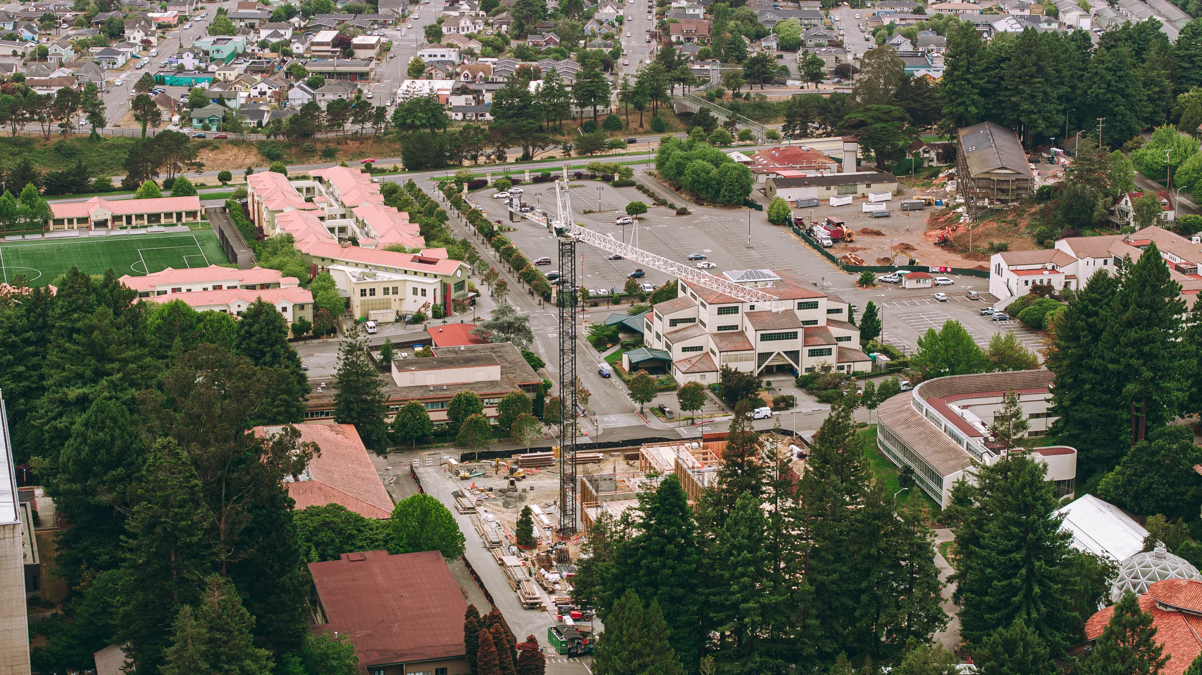
Featured location: Cal Poly Humboldt Aerial.
See Arcata drone photography and videography Humboldt County · California
Featured location: Trinidad Head Aerial.
See Trinidad drone photography and videographyInquire
Other Services in Fort Bragg
creative
Editorial, commercial, and lifestyle photography. Award-winning, FAA Part 107 aerial-capable.
Explorecreative
Cinematic videography for weddings, brands, and events.
Explorecreative
Cinematic films and editorial photography for weddings.
Explorecreative
Cinematic, location-based senior sessions built around the person.
Explorecreative
Discreet surprise-proposal photography and film, with full logistics handled.
Explorebrand
Strategy, content direction, and ad management for local operators.
Explorebrand
AI consulting for local businesses. Strategy, lead systems, automation, and AI-made ads, from someone who built the software himself.
Explorebrand
Custom-coded websites built to rank, no templates, no plugins.
Exploreindustrial
Matterport Pro3 reality capture and digital twin deliverables.
Exploreindustrial
Matterport 3D tours and virtual walkthroughs for real estate, construction, and resort properties.
Explore