Heritage Documentation
Permanent records of irreplaceable architecture.
Centimeter-grade spatial documentation of Victorian, landmark, and heritage buildings across the North Coast. Restoration-grade drawings, archival point clouds, and a digital record that outlives the building itself.
Why It Matters
Buildings get one chance to be measured.
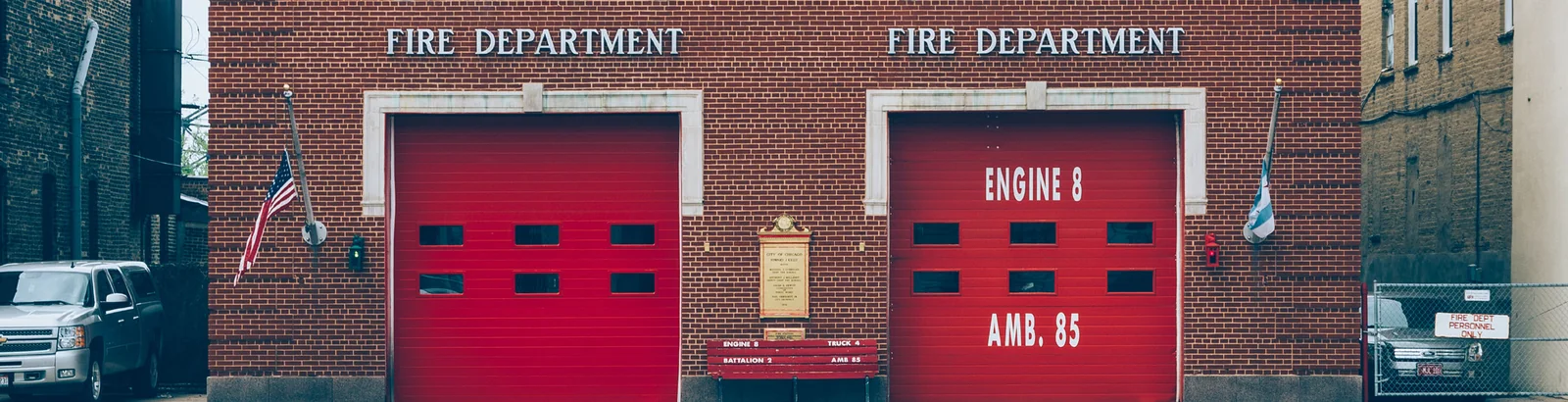
The North Coast carries one of the densest concentrations of intact Victorian architecture in the country. Ferndale's Main Street, Eureka's Old Town and Carson Mansion, Mendocino village, the coastal lighthouse inventory, and the timber-era company towns that built the region. Most of these buildings are between 120 and 160 years old.
A measured archive of a heritage building is the closest thing the discipline has to an insurance policy. Every restoration, retrofit, grant application, and adaptive-reuse project benefits from accurate existing conditions. And if a fire, storm, or seismic event takes the building, the archive becomes the basis for what comes next.
LiDAR documentation is how heritage buildings get measured properly. Once. Permanently. With accuracy that exceeds what was possible with tape-and-clipboard methods even a decade ago.
Deliverables
What you actually get with heritage documentation.
-
HABS/HAER-compatible documentation
Scan-derived measured drawings drafted to the structural and dimensional standards used by the Historic American Buildings Survey and Historic American Engineering Record programs. Suitable for federal documentation submittals.
-
Permanent measured archive
The registered point cloud and its derived drawings are a permanent record of the building as it stands today. Decades from now, restoration teams can measure against the scan even if the building no longer exists.
-
Restoration-grade drawings
Floor plans, elevations, sections, and detail drawings precise enough to base restoration carpentry on. Trim profiles, opening dimensions, and ornament locations captured to scan accuracy.
-
Condition documentation
Photo-textured point clouds capture material condition, weathering, settlement, and structural movement at a specific moment. Useful for assessment, insurance baselines, and tracking change over time.
-
Grant and Mills Act documentation
Measurement-grade documentation suitable for the documentation deliverables required by historic-preservation grant programs, Mills Act contracts, and California Office of Historic Preservation submittals.
-
Digital twin for stakeholders
A browser-accessible 3D walkthrough lets boards, donors, grant reviewers, and the public experience the property without an in-person visit. Useful for fundraising, public engagement, and consultant coordination.
By the numbers
What heritage scanning actually captures.
-
1850s
Earliest architecture
The North Coast's intact Victorian inventory dates back over 150 years. Ferndale, Eureka Old Town, Mendocino village, and the Gold Rush corridor.
-
∞
Archival lifespan
The registered point cloud is permanent. Decades from now, restoration teams can measure against the scan even if the building no longer stands.
-
6+
Landmark districts
Ferndale, Eureka Old Town, Mendocino village, Point Arena Lighthouse, Carson Mansion neighborhood, and the timber-era company towns, with more added as projects come in.
Where We Work
North Coast heritage in priority order.
-
Ferndale, CA
California Historical Landmark district. Victorian residential and commercial inventory along Main Street and the surrounding streets, the densest concentration of intact Victorian architecture on the North Coast.
-
Eureka Old Town & Carson Mansion
Victorian and turn-of-the-century commercial buildings throughout Old Town. The Carson Mansion is the iconic landmark; the district around it carries equal documentation value.
-
Mendocino village
Coastal Victorian residential and commercial buildings designated as a National Historic Landmark district. Saltwater exposure makes long-term documentation especially valuable.
-
Point Arena Lighthouse
Coastal heritage structure with significant preservation needs. Scan documentation supports restoration, public-access planning, and seismic baseline records.
-
Scotia & timber-era company towns
Pacific Lumber Company-era buildings in Scotia and the broader Humboldt timber inventory. Industrial heritage that's actively at risk and worth documenting now.
-
Trinidad, Fort Bragg, and Mendocino coast
Coastal heritage architecture and lighthouse structures. Sites where ocean exposure and seismic context make a permanent measured record especially valuable.
Use Cases
What heritage documentation is actually used for.
- Restoration projects that need to match existing trim profiles, window proportions, and ornamental detail exactly
- Mills Act and historic-preservation grant applications requiring documented existing-conditions records
- Insurance baseline documentation for irreplaceable buildings (carrier requirements increasingly include digital archives)
- Seismic retrofit and structural upgrade design, engineers need verified existing dimensions, not 1890s pen-and-ink approximations
- Educational and museum archives, heritage sites partnered with universities or public-history organizations
- Disaster and fire recovery, pre-loss documentation lets a damaged or destroyed building be reconstructed accurately
Matterport Service Partner
An archive your whole board can walk through.
For heritage clients, the strongest argument for digital documentation isn't just the measurements, it's giving boards, donors, grant reviewers, and the public a way to actually experience the building. As a Matterport Service Partner, we deliver the captured space as a navigable digital twin on the Matterport platform, share a link, anyone with a browser walks through it.
Mattertags pin contextual notes wherever they matter (a piece of trim, a structural feature, a piece of history). Measurement mode lets restoration consultants verify dimensions remotely. Blur Brush protects any sensitive content in occupied buildings. The archive stays usable for the people the building actually serves.
Platform feature names and capabilities cited above are documented in Matterport-published partner collateral.
Often paired
Goes with the rest of the LiDAR stack.
Common questions
Heritage documentation, answered.
-
Why scan a historic building instead of measuring it by hand?
A 19th-century building has thousands of dimensions worth recording, every ornament profile, every cornice projection, every window proportion. A scan captures all of them in a few hours, at centimeter-grade accuracy, archived permanently. A hand survey captures the few dimensions the surveyor thought to record, with the accuracy of a tape measure and the documentation life of a clipboard. For heritage work the difference compounds over decades. -
Will the scan damage finishes or be intrusive on site?
No. LiDAR is non-contact and non-invasive, a tripod-mounted laser captures the building's geometry from positions in the room without touching surfaces, attaching anything to walls, or disturbing finishes. Lighting is the scanner's only output. Working occupied buildings is routine; we schedule around visitor hours where it matters. -
Does the documentation satisfy the Secretary of the Interior's Standards?
The standards reference documentation level rather than dictating a specific technology, but scan-derived measured drawings comfortably exceed the spatial precision the standards expect. For projects that specifically require HABS-format drawings, we draft to those conventions and include the materials and methods statement HABS submittals need. -
Can the scan support a Mills Act contract or grant application?
Yes. California's Mills Act and most preservation grant programs (Office of Historic Preservation, California Cultural and Historical Endowment, and various federal grants) require documented existing conditions as part of the contract or application. Scan-derived drawings and a digital twin satisfy and usually exceed those requirements. -
What's the long-term value beyond the immediate project?
The point cloud is permanent. Long after the immediate restoration, retrofit, or grant is complete, the archive supports future work, additional phases, insurance claims, change-detection over time, educational use, and (in the worst case) reconstruction if the building is lost. Heritage clients consistently report the long-term archive as the deliverable they value most.
Get started
Have a heritage building to document? Let's protect it properly.
A 15-minute call covers the building's history, what's at stake, and what documentation level the project (or grant) requires. Estimate back within 24 hours.