
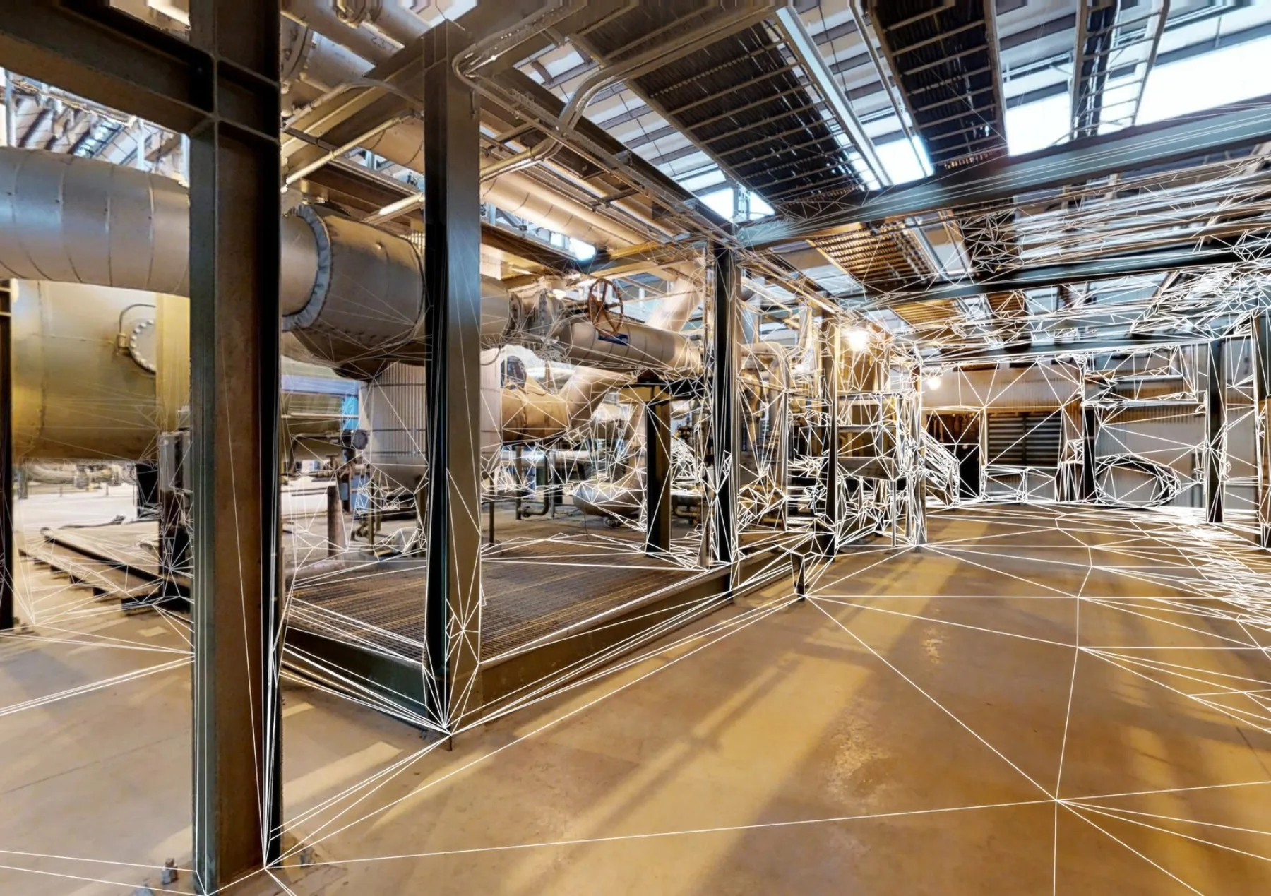
LiDAR · Maricopa County, Arizona
Maricopa County LiDAR Scanning.
LiDAR across Maricopa County, Arizona. Tex was born and raised in Prescott Valley. Northern Arizona is home turf, served from Prescott Valley.
What's Included
What you actually get with lidar.
-
Matterport Pro3 LiDAR Capture
LiDAR-based capture of interiors and building-scale sites at centimeter-level accuracy (about ±20mm). Equipment-dense floors, multi-room facilities, and existing-conditions documentation.
-
Interactive Digital Twin
Web-accessible 3D walkthrough, clients can navigate, measure, and explore the captured space directly from a browser. No software install required.
-
Construction Progress Documentation
Recurring interior scans through the build, especially MEP and framing before drywall closes it in. A dated visual record for closeout, owner reporting, and dispute protection.
-
Floor Plans + Measurements
Accurate floor plans extracted from the scan data. Measurements precise enough for design planning, retrofit work, and as-built documentation.
-
High-Resolution Stills
Pull still imagery from any angle of the scanned space, useful for documentation, marketing, insurance, or preservation records.
-
CAD/BIM Integration (optional)
Point cloud exports compatible with AutoCAD, Revit, and other CAD/BIM workflows for engineering and architecture clients.
-
Aerial-Plus-Ground Combo
Combined LiDAR scan with FAA Part 107 drone aerial photogrammetry for projects that span large outdoor sites, the two technologies complement each other.
-
Historic Preservation Documentation
Centimeter-grade spatial records for Ferndale's National Historic Landmark district, Eureka's Carson Mansion and Old Town Victorians, Mendocino village, and Point Arena Lighthouse, irreplaceable architecture captured as a permanent, measurable archive for restoration, insurance, and grant documentation.
-
Virtual Inspections & Remote Access
Insurance adjusters, engineers, AHJs, and off-site stakeholders can navigate the captured space from any browser. No site visit required. Useful for facility audits, dispute documentation, and multi-stakeholder coordination across geography.
Verticals Served
One scanner. Two industries.
LiDAR work in Maricopa County splits into two main shapes. Industrial owners want as-built records and survey data. Property and heritage clients want a permanent archive. Same equipment, different deliverables.
-
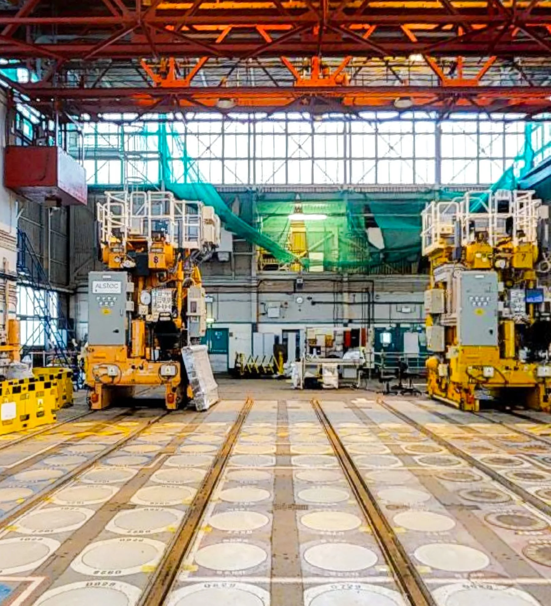 01 · Facilities & Construction
Facility interiors, construction sites, commercial buildings.
Facility and interior as-built capture for owners, GCs, and engineers across Maricopa County. Matterport Pro3 LiDAR capture for building-scale interiors and equipment-dense floors, delivered as point clouds and floor plans. Higher-accuracy and large-exterior survey scope handled through a survey partner.
- Mill and factory floor as-built documentation
- Pre-construction site capture and progress tracking
- As-built floor plans for renovation and space planning
- Campus, school, and municipal facility records for planning and maintenance
- Point-cloud exports for AutoCAD and Revit workflows
Related pages
-
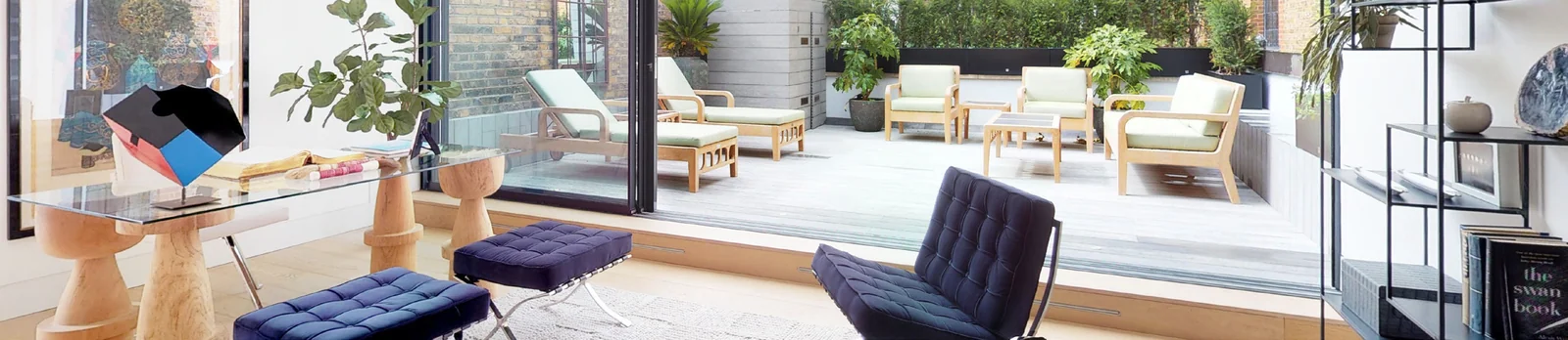 02 · Property & Heritage
Custom homes, commercial buildings, historic preservation.
Permanent measurement-grade records of architecture across Maricopa County, custom estate documentation, commercial property as-builts, and irreplaceable heritage capture. The deliverable is a digital record that outlives the building.
- Custom home and estate as-built capture
- Commercial property documentation and insurance archives
- Historic-landmark digital twins for restoration and grants
- Floor plans and measurements extracted from the scan
Related pages
-
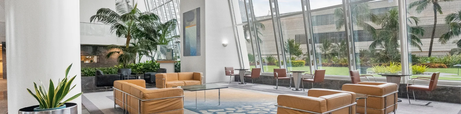 03 · Hospitality, Property Management & Restoration
Resorts and hotels, property managers, restoration contractors.
One scan can do two jobs. A resort or hotel in Maricopa County gets a marketing-ready 3D tour and a measurable as-built for the next renovation from the same visit. Property managers use scans as leasing tours and as baseline records before tenant improvements. And restoration contractors use them to document loss conditions after fire or water damage, a measurable record an adjuster can open in a browser.
- Resort and hotel capture, marketing tour plus renovation as-built in one visit
- Leasing tours and tenant-improvement baseline scans for property managers
- Fire and water loss documentation for restoration and insurance claims
- Floor plans and measurements delivered from the same scan
Related pages
Matterport Service Partner
 Service Partner
Delivered on the platform that defined the category.
Tex Kelly Productions is a Matterport Service Partner. Scans in Maricopa County are delivered through the same platform that, by Matterport's own count, has been used to capture more spaces than any other 3D solution, with over 20 billion square feet indexed since 2011.
For Maricopa County clients who want their captured space hosted somewhere their architects, contractors, insurers, or department heads can already navigate, measure, and annotate without specialized software, the Matterport platform is the deliverable. We capture; you and your team work inside the model from any browser.
Specs and platform stats cited above are Matterport-published partner figures.
-

Dollhouse views
A photorealistic, fully interactive cut-away of the captured space, clients understand the building's layout at a glance.
-

Mattertags
Embedded annotations, links, videos, and inline notes pinned anywhere inside the 3D model.
-

MatterPak
High-resolution digital asset export, point clouds, schematic floor plans, and meshes downloadable from Matterport Cloud.
-

Measurement mode
Accurate dimensional measurements taken directly inside the model, by anyone with the link, no software install.
-

Blur Brush
Privacy controls that blur faces or personal information visible in the scan, important for occupied or sensitive sites.
-

Notes & sharing
Threaded commenting and shareable links so stakeholders coordinate inside the model, not in scattered email threads.
Walk through a live capture
An actual scan, live in your browser.
Click into the model below to navigate the captured space, measure room-to-room, switch into the dollhouse view, or open the floor plan. No software install, everything runs in this browser tab.
Captured by Tex Kelly Productions and hosted on the Matterport platform. Use the navigation controls at the bottom of the model to switch between inside view, dollhouse, and floor plan; click any room to teleport.
Real-world captures
What LiDAR & digital twins look like in the field.
The range of environments scan capture handles in Maricopa County and beyond, from active construction and manufacturing floors to commercial real estate, education, and hospitality. Each is a different vertical, captured with the same equipment and the same delivery pipeline.
-
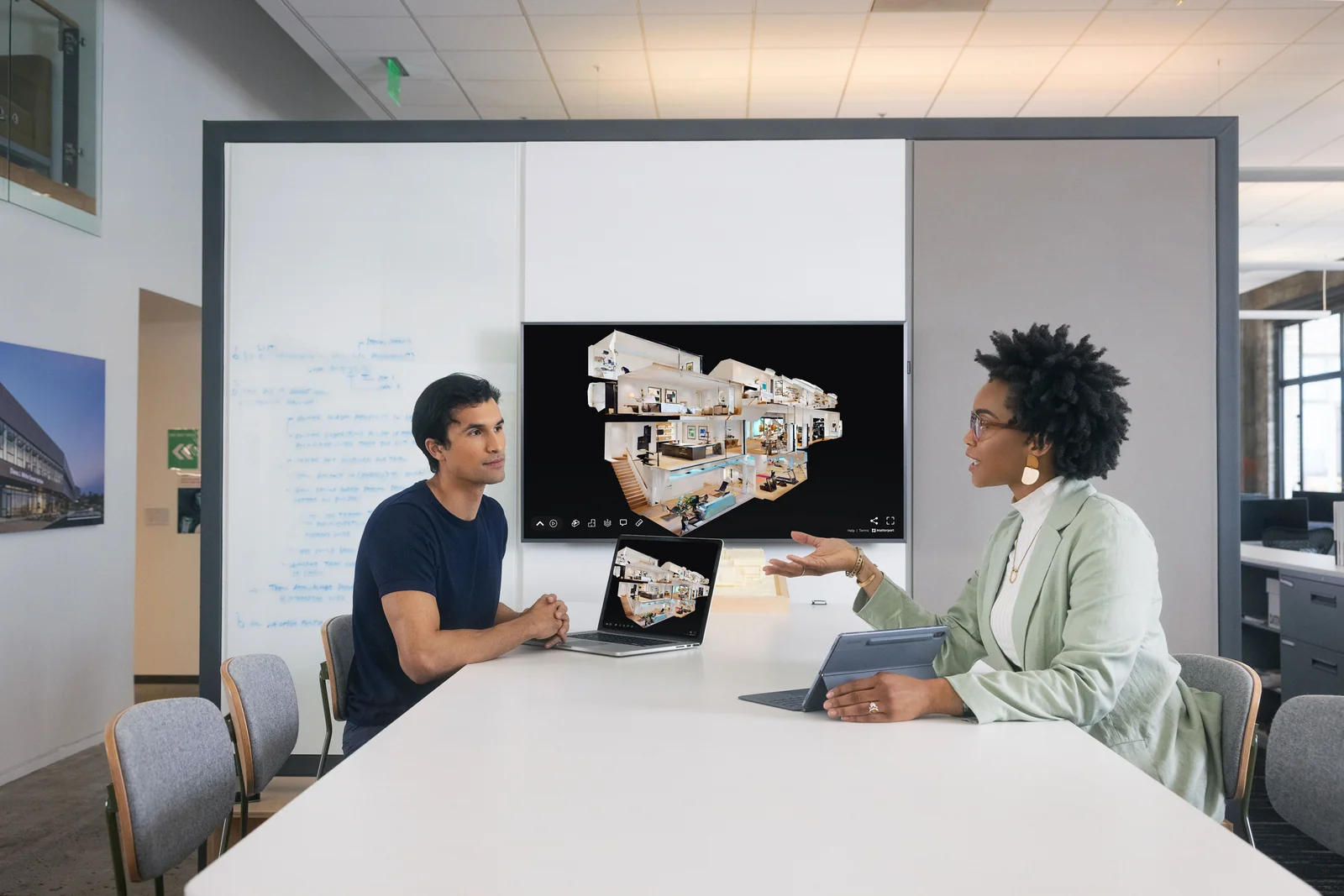
AEC collaboration
Design and build teams review existing conditions from a digital twin, no site visit required.
-
Point cloud capture
Centimeter-grade point cloud data overlaid on the physical space, the source of every downstream deliverable.
-
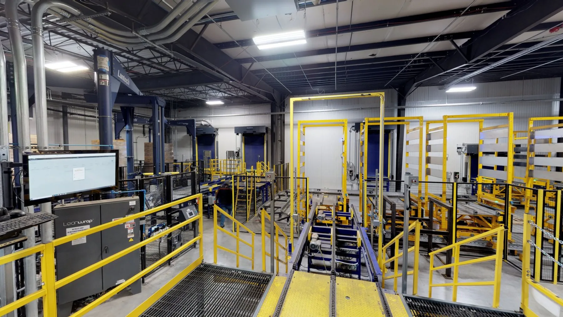
Manufacturing floor
Equipment-dense industrial facilities scanned for as-built documentation and operational planning.
-
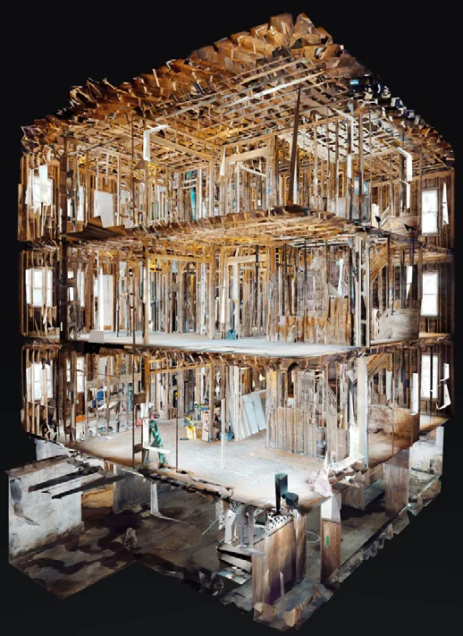
Whole-building dollhouse
Multi-story structures captured top-to-bottom as a single navigable 3D model.
-
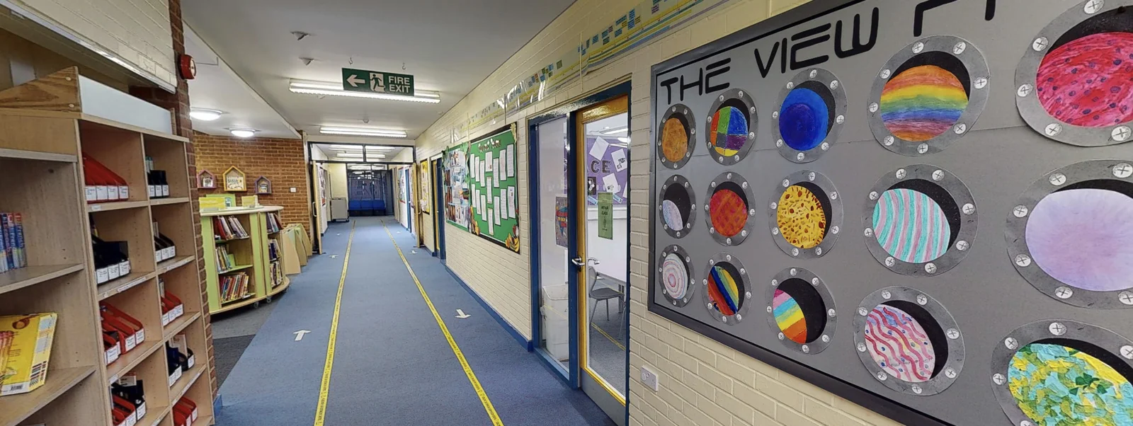
Public sector & SLED
K-12, higher-ed, government, and public-safety facilities documented for safety preparedness and facilities management.
-
Hospitality & CRE
Hotels, resorts, and commercial properties documented for marketing, planning, and facility management.
Photography on this section is drawn from Matterport-published partner collateral and shown here as representative examples of the kinds of environments LiDAR & Matterport scan capture covers. Tex Kelly Productions delivers comparable captures across Maricopa County and the broader region.
How It Works
From first message to final delivery.
- 01
Site Walk-Through
On-site scoping visit to understand the facility, capture goals, and any specialty requirements (CAD output, multi-day scope, etc.).
- 02
Proposal
Written proposal with scan plan, deliverables, and timeline. Industrial scope scales with site size and equipment density.
- 03
Pre-Scan Coordination
Site access, safety briefing, equipment shutdowns or schedule windows for areas that need to be captured 'clean.'
- 04
On-Site Scan
Matterport Pro3 LiDAR capture documents every angle and elevation. Most single-floor facilities scan in 2–4 hours; large multi-floor buildings take a full day or more.
- 05
Processing + Delivery
Point cloud processing, mesh generation, walkthrough hosting, floor plan extraction, and CAD export. Standard turnaround 1–3 weeks depending on scope.
Investment
LiDAR engagements are scoped per project, site size, equipment density, and deliverable type all affect pricing. Most projects start in the low four figures. Site walk-through is free; the proposal includes detailed scope.
LiDAR FAQs
Common questions.
-
What is LiDAR and a digital twin?
LiDAR (Light Detection and Ranging) is high-precision 3D scanning that captures a space as a measurable, navigable model. A digital twin is the resulting 3D representation, a fully accurate spatial record clients can walk through, measure, and overlay design changes onto. Useful for industrial, commercial, and infrastructure documentation. -
Who is this service for?
Architects capturing existing conditions before a renovation, general contractors documenting construction progress and closeout, engineers and building owners who need measurable as-builts, and historic-preservation projects. Anyone who needs measurable spatial documentation that goes beyond photography. -
How long does a scan take?
Depends on scope. A single floor of a small commercial building can be scanned in 2–4 hours; a large multi-floor building or equipment-dense facility takes a full day or more. Tex provides a timeline as part of every project quote. -
What deliverables do clients receive?
Scan-to-CAD drawings drawn straight from the scan: DWG floor plans, reflected ceiling plans, interior and exterior elevations, and building sections. Plus registered E57 point clouds, an existing-conditions package, accurate measurement data, high-resolution stills from any angle, and an interactive 3D walkthrough you open in a browser. We deliver the finished CAD drawings, or hand off the registered point cloud for your own team to model. Output format is scoped per project. -
Do I need a full Revit/BIM model, or is scan-to-CAD enough?
Most projects that just need accurate as-built drawings, floor plans, elevations, sections, do not need a full parametric Revit model, and paying for one is money spent on modeling you will not use. Scan-to-CAD gets you clean, measurable drawings faster and for less. Full BIM earns its cost when you are running a large renovation or ongoing facility management off a live model. We scope which one your project actually needs on the first call so you are not overbuying. -
Can you scan a building that is occupied or still in operation?
Yes, and most commercial jobs are exactly that. We schedule around occupancy: off-hours, a floor or zone at a time, or during a planned shutdown window. The scanner captures a space quickly and without tearing anything apart, which is why occupied offices, running healthcare facilities, and active industrial plants are routine. Tell us the access constraints up front and we build the capture plan around them. -
How does this compare to photogrammetry or drone mapping?
The Matterport Pro3 captures LiDAR-based spatial data at centimeter-level accuracy (about ±20mm), ideal for interiors, equipment-dense environments, and existing-conditions documentation. For large outdoor sites where coverage matters more than per-point accuracy, drone aerial photogrammetry is the better tool. For many projects, the two are combined. -
How accurate is the scan?
The Matterport Pro3 captures with LiDAR at centimeter-level accuracy, roughly ±20mm under typical conditions. That's the right grade for existing-conditions documentation, as-built floor plans, renovation and tenant-improvement planning, progress tracking, and clearance checks. It is not survey-grade; when a project needs survey tolerances or geo-referenced control, we bring in a licensed survey partner. Project-specific accuracy targets are confirmed in the proposal. -
Can I get a Revit, AutoCAD, or BIM model from the scan?
Yes. Point cloud exports are compatible with Autodesk Revit, AutoCAD, Navisworks, and other CAD/BIM workflows. We can hand off raw point clouds for your in-house team to model, or coordinate scan-to-BIM modeling with an AEC partner for clients who need a delivered Revit model. Output format is scoped per project, let us know what your downstream workflow looks like. -
How is the digital twin delivered? Do I need special software?
The digital twin is delivered as a web-accessible link, clients open it in any browser, no software install required. From the browser you can navigate the space, take measurements, drop notes, and share access with stakeholders. Raw point cloud and CAD-compatible exports are available on request for technical workflows.
Inquire
LiDAR in Maricopa County. Tell me about your project.
Other Services in Maricopa County
Nine more services across Maricopa County.
-
creative
Photography in Maricopa County
Editorial, commercial, and lifestyle photography. Award-winning, FAA Part 107 aerial-capable.
Explore -
creative
Videography in Maricopa County
Cinematic videography for weddings, brands, and events.
Explore -
creative
Weddings in Maricopa County
Cinematic films and editorial photography for weddings.
Explore -
creative
Drone Photography and Videography in Maricopa County
Drone FAA Part 107-certified aerial photography and cinema.
Explore -
creative
Senior Portraits in Maricopa County
Cinematic, location-based senior sessions built around the person.
Explore -
creative
Proposals & Engagements in Maricopa County
Discreet surprise-proposal photography and film, with full logistics handled.
Explore -
brand
Marketing Consulting in Maricopa County
Strategy, content direction, and ad management for local operators.
Explore -
brand
AI Consulting in Maricopa County
AI consulting for local businesses. Strategy, lead systems, automation, and AI-made ads, from someone who built the software himself.
Explore -
brand
Web Design in Maricopa County
Custom-coded websites built to rank, no templates, no plugins.
Explore -
industrial
Matterport in Maricopa County
Matterport 3D tours and virtual walkthroughs for real estate, construction, and resort properties.
Explore